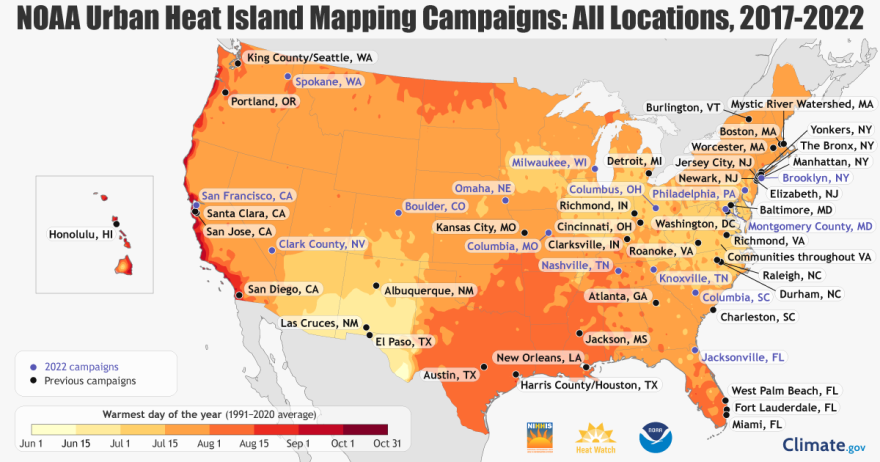
The National Oceanic and Atmospheric Administration (NOAA) has selected Oklahoma City along with 17 other communities to participate in the 2023 NOAA Urban Heat Island (UHI) mapping campaign.
Pending City Council approval, the campaign will kick off this summer, with volunteer citizen scientists using heat sensors mounted on their cars to map the hottest parts of the city, known as urban heat islands.
"Cities are typically much warmer than nearby rural areas, especially during the summer as cities' roads and buildings gain heat during the day and then radiate the heat into its surrounding air," said NOAA Chief Scientist Dr. Sarah Kapnick. "The result is that some areas of cities can be 15 to 20 degrees warmer than areas with more green spaces."
According to NOAA, extreme heat is the No. 1 weather-related cause of death in the U.S. for the last three decades. Organizers say the data collected from the mapping campaign will help determine where the hottest parts of the city are, and can also be useful for local agencies to target those who are most vulnerable.
NOAA says previous campaigns have yielded positive results, with cities using the heat island data and maps to implement strategies such as tree planting, locating new public transit shelters for cooling relief and developing heat action plans.

Citizens interested in volunteering for the heat mapping campaign in Oklahoma City can contact the Office of Sustainability at sustainability@okc.gov for more information.
KGOU is a community-supported news organization and relies on contributions from readers and listeners to fulfill its mission of public service to Oklahoma and beyond. Donate online, or by contacting our Membership department.


